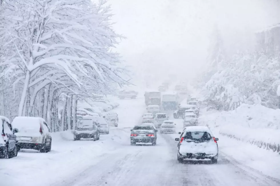
Cold ‘Polar Vortex’ May Bring Snow to Central New York
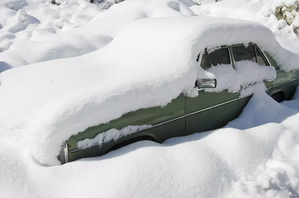
Mother nature teased us last week when she gave us lots of sunshine and warm temperatures. However, colder weather is here, and we might see some of that white stuff too. Ick!
According to the National Weather Service, cloudy skies and cold temperatures are on the way. In fact, we may even see some snow. Here's the bleak outlook through Tuesday of next week:
SaturdayMostly sunny, with a high near 33. Northwest wind 8 to 10 mph.
Saturday NightMostly clear, with a low around 19. Northwest wind 3 to 7 mph.SundayPartly sunny, with a high near 38. Southeast wind 6 to 8 mph.Sunday NightSnow likely. Mostly cloudy, with a low around 24. Chance of precipitation is 60%.MondayA chance of snow showers. Mostly cloudy, with a high near 36. Chance of precipitation is 40%.Monday NightA chance of snow showers. Mostly cloudy, with a low around 21. Chance of precipitation is 30%.TuesdayMostly sunny, with a high near 34.
Sunday marks the first day of spring, but it's going to feel more like winter. Just when you thought we were done with the cold weather, mother nature decides to sucker punch us with this, according to Nature.com:
"As those northern areas are getting warmer, it's weakening the tightness of the polar vortex," Mitchell said. "It's beginning to slip down into eastern North America, and that causes a lot of changes, including some very cold temperatures and a higher proportion of water coming from those northern areas."
Now for the good news! If we can survive the next 5 days or so, warmer weather is on the way; by Thursday of next week, we'll be back up near 60.
Naomi Hits the Slopes!
More From Lite 98.7