It’s Not Just the Snow We Have to Worry About – It’s the Cold
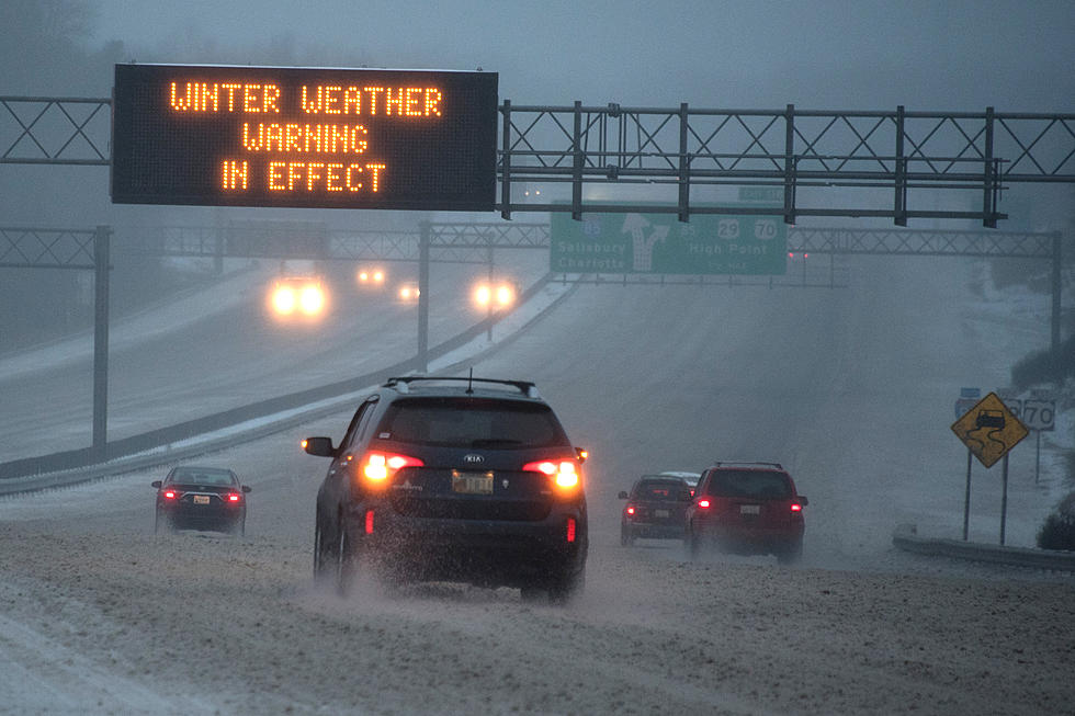
Everyone is talking about this potential snowstorm that could hit us in the Northeast, but we're also going to be dealing with some brutally cold temperatures.
With the latest forecast models from the National Weather Service, it looks like we definitely can expect snowfall this weekend. As to how much? Well, that answer is still up in the air. As we get closer and closer to the weekend, it's looking more likely that we could get significant snowfall (but again, it's hard to predict weather to begin with, let alone 3+ days out).
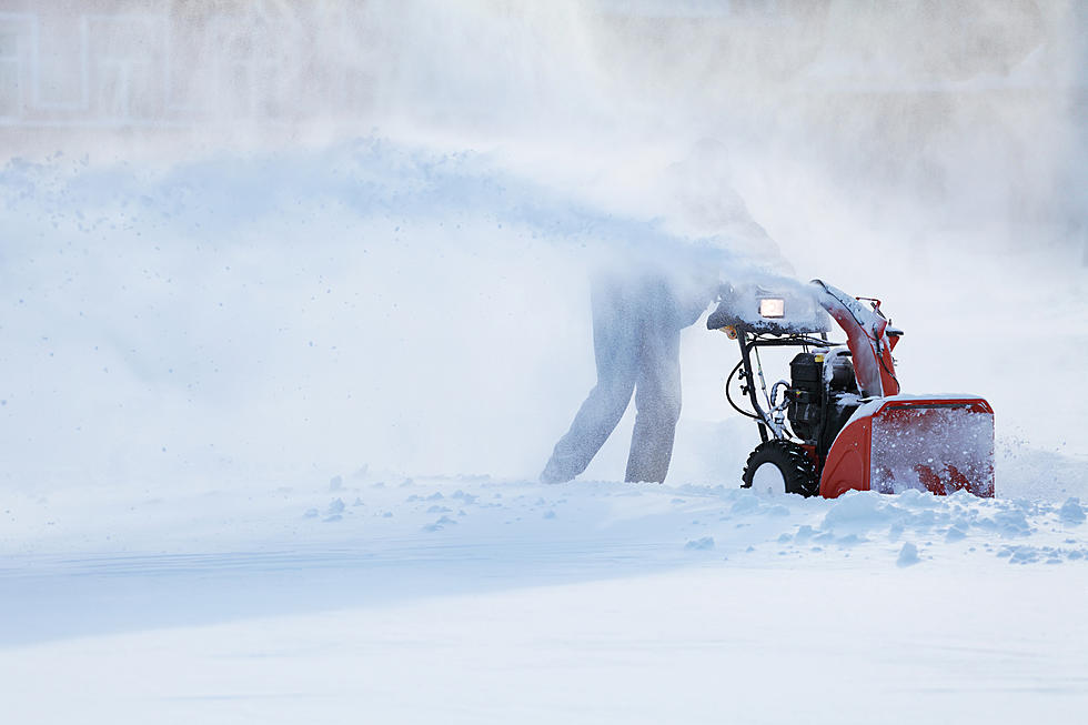
But one thing is for sure with this system moving into the northeast - It's going to get cold. Like, REALLY cold.
According to the National Weather Service out of Binghamton:
...Frigid Arctic air and gusty winds will
also move in behind the system Sunday afternoon through Monday, with
potentially very cold temperatures and dangerously low wind chills as
well as areas of blowing snow...
How cold are we talking? Well, Sunday's high is 17-degrees, and Sunday night it's supposed to drop down to 6-below, in the Utica area. Monday's high for the Utica area is only 6-degrees, with a low of 3-below. And that's not considering wind chill values.
The latest update from the National Weather Service (from 4:21am, Wednesday, January 16th), states the chances for a big storm this weekend are increasing. So it looks like no matter what, we'll have to brace ourselves for some ridiculously cold weather, but also the likeliness for a lot of accumulating snow.
Keep Up-To-Date
Take us everywhere you go with our Lite 98.7 App. Listen live with all of your favorite shows with fewer commercials. The app lets you call, message or tweet at us anytime or send us photos and videos. The app also gives you the ability to receive notifications about breaking news, weather alerts, traffic advisories and school closings happening in and around Central New York.
More From Lite 98.7