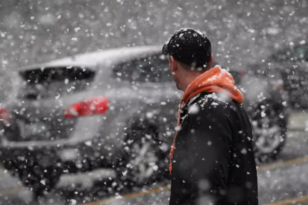
First Snow of the Season Expected This Weekend Along With Cold Temperatures
Here comes the snow. But the biggest story this weekend will be the COLD, not the SNOW. Most of central New York will see highs this weekend in the 40s and lows in the 20s. The best chance for any accumulating snow will be over the higher elevations, although everyone could see a few snowflakes from time to time, especially overnight. There is good news. It'll warm up into the 60s by the middle of next week.
The National Weather Service has issue a HAZARDOUS WEATHER OUTLOOK for The Litchfield Hills, The Catskills, Taconic Adirondacks and East of Central New York. Localized snow accumulations are possible tonight through Sunday, mainly across the higher elevations of the Adirondacks.
Friday
A chance of showers. Partly sunny, with a high near 52. West wind 10 to 15 mph. Chance of precipitation is 40%. New precipitation amounts of less than a tenth of an inch possible.
Friday Night
Rain showers likely before 3am, then rain likely, possibly mixed with snow showers. Mostly cloudy, with a low around 35. West wind 7 to 13 mph. Chance of precipitation is 60%. Little or no snow accumulation expected.
Saturday
A chance of rain and snow showers before 10am, then a chance of rain showers. Increasing clouds, with a high near 43. West wind 15 to 18 mph. Chance of precipitation is 50%. New precipitation amounts of less than a tenth of an inch possible.
Saturday Night
A slight chance of snow showers. Mostly cloudy, with a low around 26. Northwest wind 7 to 9 mph. Chance of precipitation is 20%.
Sunday
A chance of snow showers before noon, then a chance of rain and snow showers between noon and 2pm, then a chance of rain showers after 2pm. Partly sunny, with a high near 37. Chance of precipitation is 30%.
Sunday Night
A chance of snow showers before 8pm. Partly cloudy, with a low around 25. Chance of precipitation is 30%.
MORE: Take This Snow & Shove It
Stay Connected
More From Lite 98.7