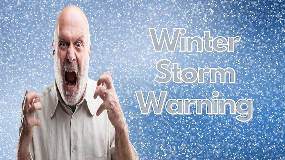
Winter Storm Could Bring 5 to 9 Inches of Snow to Utica and Rome
When is this winter going to be over, for crying out loud? Just when all the snow has pretty much melted, another winter storm is on its way - and this could bring some significant snow.
The National Weather Service has issued a Winter Storm Watch for Oneida County along with several other counties. The storm is expected to bring 5 to 9 inches to the region, and make for a sloppy commute Friday morning.
...WINTER STORM WATCH IN EFFECT FROM LATE THURSDAY NIGHT THROUGH
FRIDAY EVENING...
* WHAT...Heavy snow possible. Total snow accumulations of 5 to 9
inches, are possible. The higher end snow amounts will be in the
higher elevations.
* WHERE..Northern Oneida, Yates, Seneca,
Southern Cayuga, Onondaga, Steuben, Schuyler, Chemung,
Tompkins, Southern Oneida, Tioga, Broome and Sullivan Counties.
* WHEN...From late Thursday night through Friday evening.
* ADDITIONAL DETAILS...Plan on difficult travel conditions,
including during the morning commute on Friday. Significant
reductions in visibility are possible.
PRECAUTIONARY/PREPAREDNESS ACTIONS...
A Winter Storm Watch means there is potential for significant
snow, sleet or ice accumulations that may impact travel. Continue
to monitor the latest forecasts.
Will this storm be winter's last gasp? I guess we'll have to wait and see.
BONUS VIDEO:
More From Lite 98.7