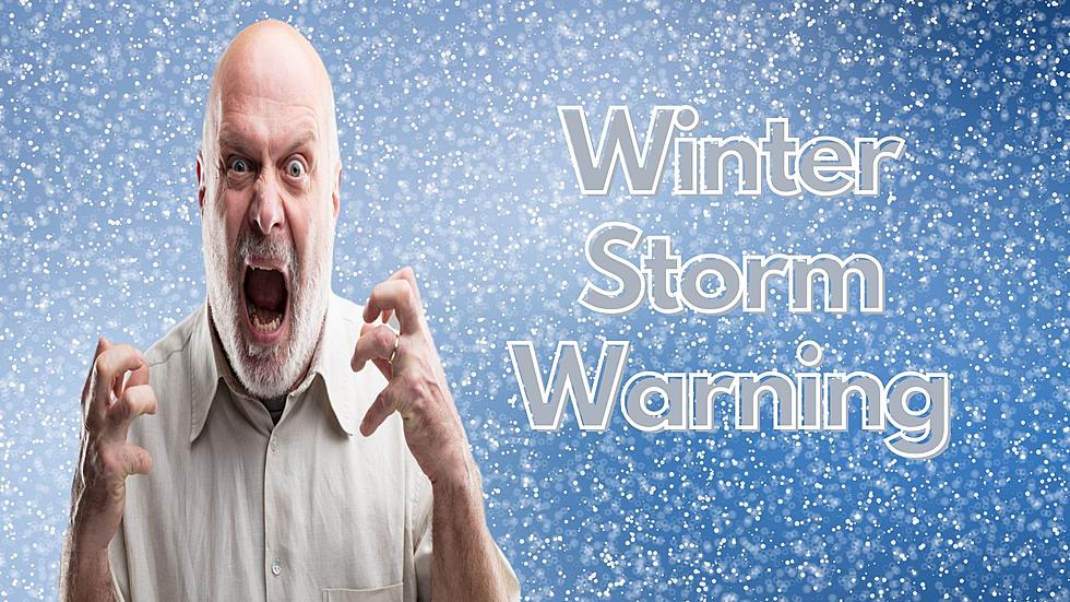
It’s Not Over Yet: Winter Storm Could Bring Heavy Snow to Central New York
It's officially Spring, but no one gave Mother Nature the memo. Heavy snow could be headed to Central New York.
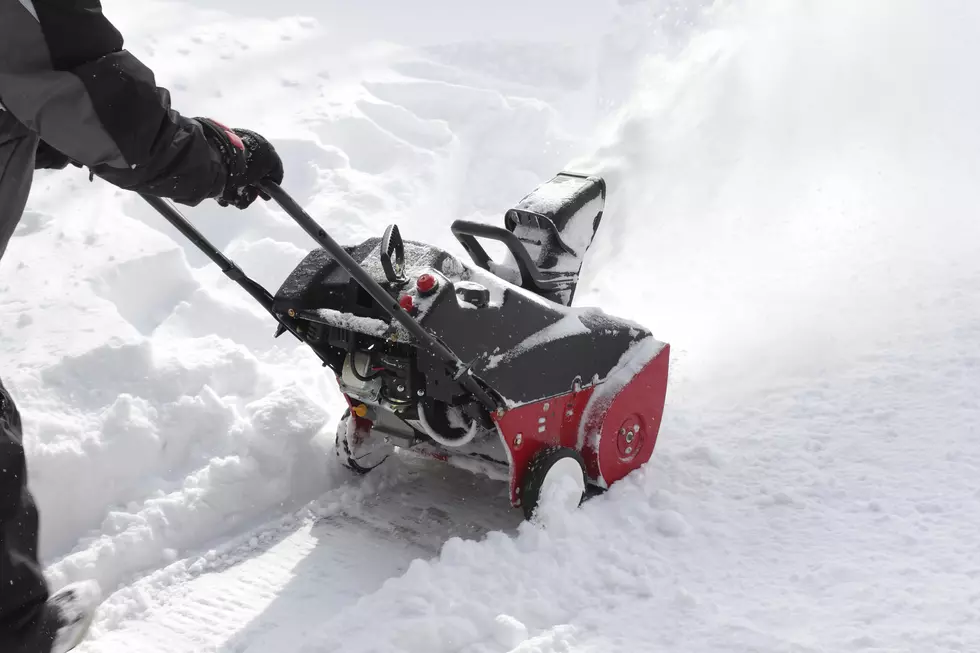
The National Weather Service has issued a Winter Storm Watch for Central New York for late tonight into Saturday - and in some areas, the watch begins Thursday night. Anywhere where from 5 - 10 inches of snow could fall over the area. The National Weather Service cautions that the amount of snowfall is dependent upon the track of the storm - which is still not totally clear.

For the cities of Utica, Rome, Syracuse, Boonville, Auburn, Hamilton,
Oneida, Cortland, Norwich, and Oneonta:
...WINTER STORM WATCH NOW IN EFFECT FROM LATE TONIGHT THROUGH
SATURDAY MORNING...
* WHAT...Heavy snow possible. Total snow accumulations of 5 to
10 inches possible. Winds could gust as high as 35 mph
creating areas of blowing and drifting snow Friday night.
* WHERE...Northern Oneida, Southern Cayuga, Onondaga, Madison,
Southern Oneida, Cortland, Chenango and Otsego counties.
* WHEN...From late tonight through Saturday morning.
* ADDITIONAL DETAILS...Plan on slippery road conditions. The
hazardous conditions could impact the Friday evening commute.
For the cities of Ilion, Herkimer, Little Falls, Mohawk,
Frankfort, Dolgeville, Big Moose, Eagle Bay, and Old Forge:
...WINTER STORM WATCH NOW IN EFFECT FROM LATE TONIGHT THROUGH
SATURDAY MORNING...
* WHAT...Heavy, wet snow possible. Total snow accumulations of 7
inches or more possible. Winds could gust as high as 45 mph
Friday night into Saturday morning.
* WHERE...In Vermont, Western Windham and Bennington Counties. In
New York, Herkimer and Hamilton Counties.
* WHEN...From late tonight through Saturday morning.
* ADDITIONAL DETAILS...Travel could be very difficult. The
hazardous conditions could impact the Friday morning and
evening commutes.
We'll keep you updated as the forecast develops. You can always get the latest on the Lite 98.7 app.
More From Lite 98.7