
More Snow Than First Predicted for Utica/Rome and Central New York
That winter storm is hitting a little too close to home. It looks like it's moved north and could bring more snow than expected to central New York.
The National Weather Service has issued a Winter Weather Advisory for Madison, Northern Oneida, Onondaga, Southern Oneida from 5pm to 10am Thursday, including the cities of Boonville, Syracuse, Hamilton, Oneida, Rome, and Utica.
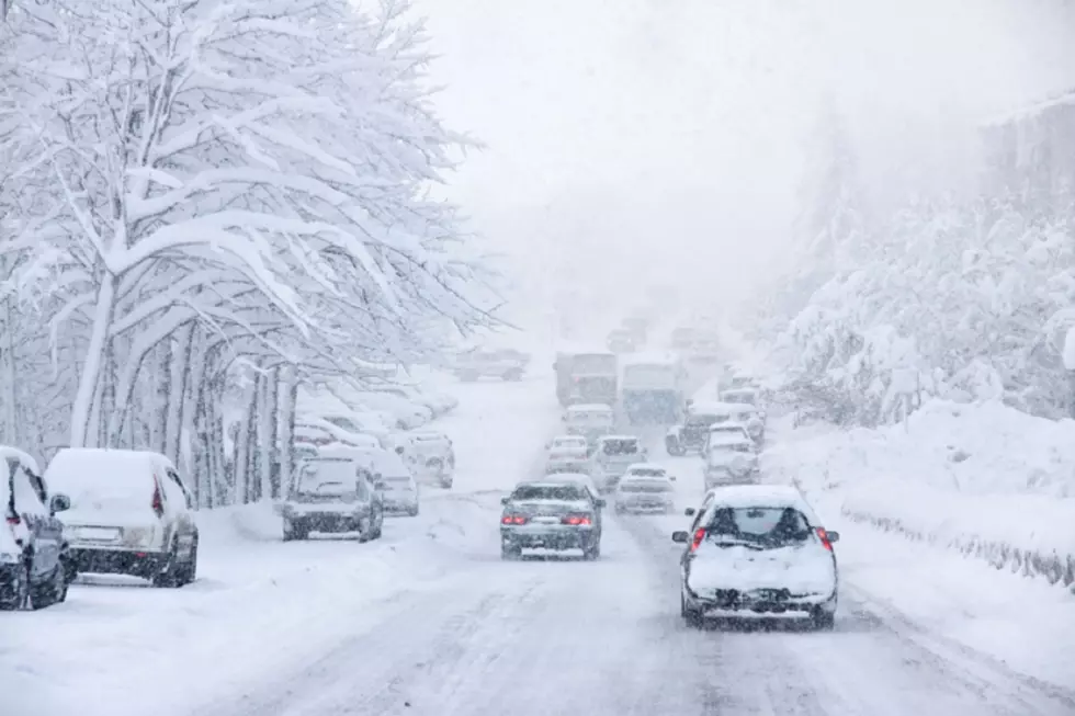
The good news is we won't see snow in feet like some areas to the south. The bad news is we will get more than the 1 to 2 inches first predicted earlier in the week. Central New York could get 4 to 6 inches of snow with heavy snowfall expected tonight. The National Weather Service says there is still some uncertainty on snow totals. "Any small shift in track could lead to significant differences in snowfall."
Plan on slippery evening commute with snowfall rates of 1 inch per hour possible tonight. Hazardous road conditions could also affect the morning commute Thursday.
The National Weather Service says snow will begin after 8pm in Utica/Rome. It could be heavy at times. 4 inches is predicted overnight with another 2 inches expected on Thursday, mainly before noon.
A lot more snow is expected to the south of central New York.
9 to 16 inches is expected in Tioga, Broome, Delaware and Sullivan counties with snowfall rates of 2 to 3 inches per hour possible.
Cortland, Chenango and Otsego counties could see 7 to 12 inches. 6 to 11 inches is predicted in Steuben, Schuyler, Chemung and Tompkins counties.
Looks like we may all get a white Christmas after all.
9 Places to Go Snow Tubing in New York
More From Lite 98.7


