
Sunshine Ends In Central New York, Heavy Rain Expected
Well, that WAS a nice burst of spring. But it appears we'd better not get used to it as the National Weather Service has issued a Hazardous Weather outlook.
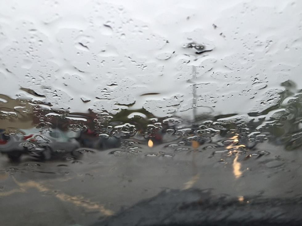
According to the National Weather Service, Central New York can expect isolated events of heavy rainfall this afternoon and evening, with the potential for thunderstorms developing as well.
"There is the potential for locally heavy rainfall late today into
tonight. Generally an inch or less of rain is expected. Locally
higher amounts are possible, especially further east near I-81. These
locally higher amounts could result in minor urban flooding and
ponding on roadways. Flash flooding and river flooding is not
expected."
According to the National Weather Service, the pleasant weather we experienced the last few days in Central New York may be over for a bit. A few days this week are filled with wet forecasts. In general, it looks like Monday and Thursday will be the WORST days for outdoor activities. Here's the official wording, straight from Weather.gov:
Heavy rain is likely across the East, as a stationary system from the Southeast merges with an arriving strong cold front. Excessive rainfall amounts are possible from the southern Appalachians to the northern Mid-Atlantic region.
So, as for any outings or events you may be planning this week--Tuesday, Wednesday and Saturday appear to be the best bets.
More From Lite 98.7


