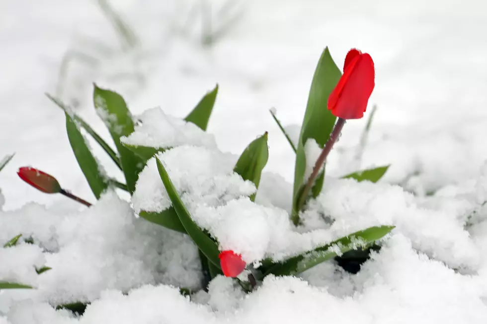
Mother Nature Greets Spring with Gusting Winds, and Wet, Heavy Snow
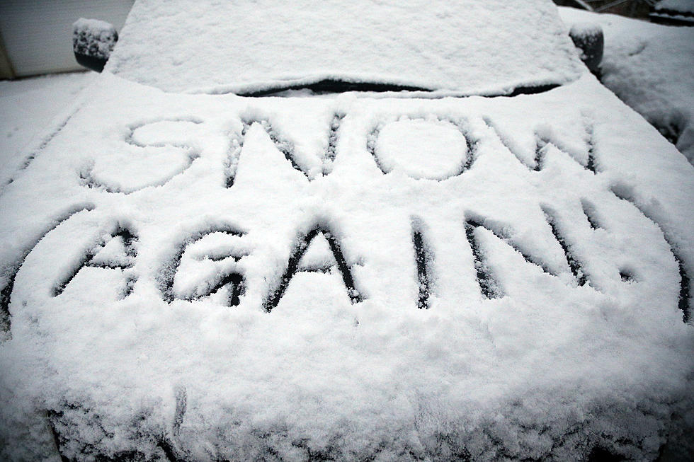
Mother Nature is welcoming Spring with gusting winds, and wet, heavy snow. Maybe a nice bottle of wine would have been more cordial.
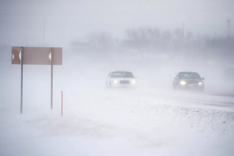
All of Central New York is under a Winter Storm Warning until Saturday morning, as winter weather heads our way. Potential snowfall amounts have changed several times as forecasters try to predict the path of the storm. Currently, the possibility exists for as much at 12" in some areas, but likely snowfall in lower elevations should be closer to 4"-6", and 6"-12" in higher elevations through Saturday morning.
Look for the snowfall to occur in two events - Friday morning, and then again, Friday evening into Saturday. As temperatures rise in the middle of the day Friday, some of the morning snow could melt.
For the cities of Utica, Rome, Syracuse, Boonville, Norwich, and Oneida:
...WINTER STORM WARNING REMAINS IN EFFECT UNTIL 8 AM EDT
SATURDAY...
* WHAT...Heavy snow. Additional snow accumulations of 6 to 12
inches above 1400 foot elevation, and 3 to 6 inches at lower
elevations. Winds gusting as high as 40 mph late today through
tonight.
* WHERE...Delaware, Otsego, Oneida, Cortland, Onondaga, Chenango, and Madison
counties.
* WHEN...Wet and occasionally heavy snow early this morning,
mainly at higher elevations. A lull midday with light mixed rain
and snow, but then heavier snow showers and blowing snow late
this afternoon through tonight.
* ADDITIONAL DETAILS...Travel could be very difficult, especially
at higher elevations. Areas of blowing snow could significantly
reduce visibility. The hazardous conditions could impact the
morning or evening commutes.
For the cities of Ilion, Herkimer, Little Falls, Mohawk, Frankfort, Dolgeville, and Old Forge:
...WINTER STORM WARNING REMAINS IN EFFECT UNTIL NOON EDT
SATURDAY...
* WHAT...Heavy wet snow expected. Total snow accumulations of 6
to 12 inches expected. More than a foot of snow is possible
across the southern Greens. Winds gusting as high as 45 mph.
* WHERE...Herkimer, Hamilton, and Northern Fulton counties
* WHEN...Until noon EDT Saturday.
* ADDITIONAL DETAILS...Travel could be very difficult. The
hazardous conditions could impact the morning or evening
commutes. Gusty winds could bring down tree branches. Snowfall
rates of an inch an hour are possible this morning. Isolated
power outages are possible.
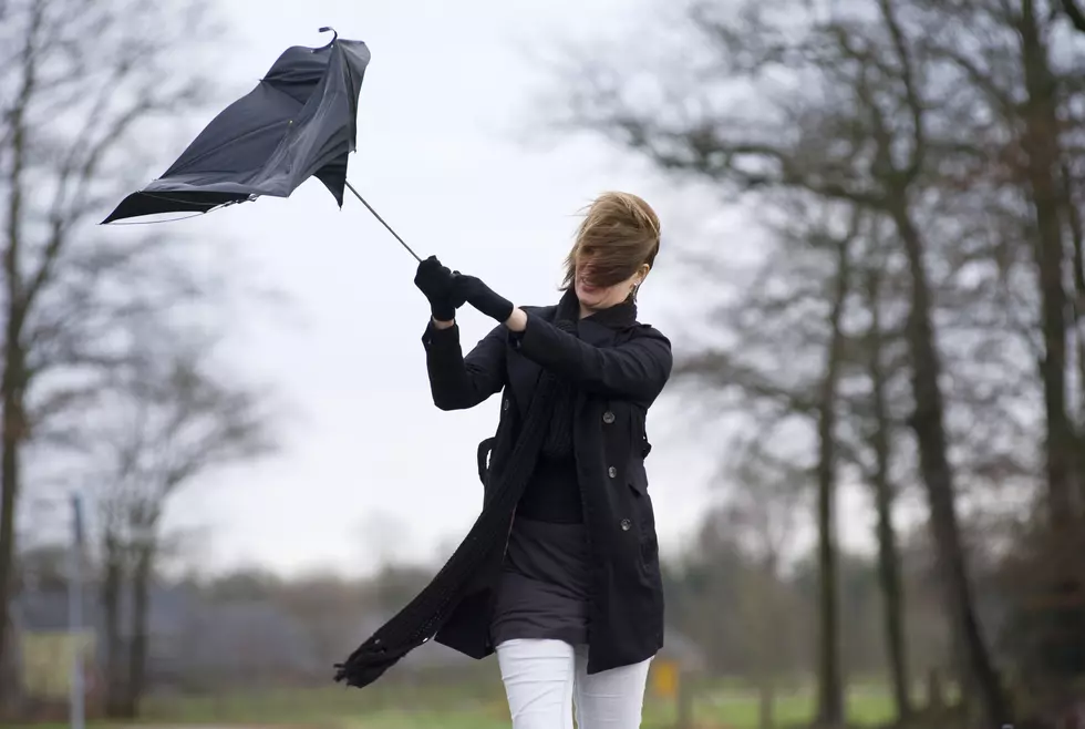
Look for wind gusts up to 35 MPH which could make driving hazardous.
The National Weather Service says the forecast is very sensitive to changes in temperature and storm track, so for the very latest - make sure you have the Lite 98.7 mobile app.
More From Lite 98.7