The 5 Best Bicycle Trails Near Utica
Bicycling is one of my favorite forms of exercise -- not only do you burn calories, but depending on where you go, you can enjoy some sights you normally wouldn't get to see from a car. Whether you're a casual, infrequent cyclist, or you like longer, more challenging rides, my "top 5" list has something for everyone.
Contributed By Peter Naughton
__________________________________________________________________________________
Canalway Trail: Rome to Utica
The Canalway Trail, as the name implies, runs alongside the canal. In some places, that's the present-day Barge Canal, and in other areas, the trail follows the towpath of the original Erie Canal. Between Rome and Utica, you'll experience a little of both.
View Canalway Trail: Rome to Utica in a larger map
Although it's a 13.5-mile ride from Rome to Utica, this segment of the Canalway Trail offers several spots to start or end your ride. If you're not up for a 27-mile round trip, just choose one of the other access points. The "P" icons show free, public parking lots where you can park your car. The green bicycle icons show other "cross streets" which meet the trail, but there are no parking lots in these locations. Zoom in and out to see the exact locations.
While some parts of the trail are paved, most of it is a dirt or light gravel surface, so you'll want to use a hybrid or mountain bike. The narrow tires of a road bike may not be able to handle the terrain.
If you like the Canalway Trail and the Utica/Rome segment leaves you hungry for more, consider the 40+ mile segment which runs from DeWitt Town Hall (near Syracuse) to the Erie Canal Village west of Rome. Or consider the 8-day tour which runs the entire trail from Buffalo to Albany every summer. If you start training now, you might be ready by next July!
__________________________________________________________________________________
Delta Lake Loop-ROME
The Delta Lake Loop isn't quite as long as a round-trip between Rome and Utica... and the entire ride is on paved roads, which are usually easier to ride than gravel trails. But, there's a big trade-off: during this 16.6-mile ride, you'll encounter a few particularly steep hills.
View Delta Lake Loop in a larger map
Again, I've noted a few free, public parking areas along the loop for those of you who want to drive your bike to a "jumping off" point to begin/end your ride. Of these four areas, note that there's a $7 fee at Delta Lake State Park. If you park elsewhere, there's no charge to enter the park (say, for a rest break) if you pedal your way in.
The steepest hills are right near Delta Dam. Even experienced cyclists may find themselves giving up and walking their bikes part of the way. If it's a warmer day, you'll definitely want to bring water... and if you're a slower rider, you might want to bring a healthy snack to boost your energy.
__________________________________________________________________________________
Onondaga Lake Park-Syracuse
This one's a bit far from the Mohawk Valley, but since moving to Syracuse, I've been very impressed with Onondaga Lake Park; there's nothing else like it closer to Utica. If you've ever been to "Lights on the Lake," you'll be somewhat familiar with part of this ride, except you'll be there during daylight hours and there won't be any snow or holiday displays.
View Onondaga Lake Park Trail in a larger map
This combines the best of the first two rides: the trails at Onondaga Lake Park are almost entirely flat, and they are entirely paved. No dirt, no gravel, and no giant hills. And the trails are off-limits to cars, so the only "traffic" you have to watch for are joggers, rollerbladers and other cyclists.
The main parking lot in Liverpool is only 5 minutes away from Thruway Exit 37. It's free to park, and if you don't feel like driving your bike all the way to Syracuse, a wide variety of bikes -- including tandem bikes and a "conference bike" built for 8 people -- are available for rental.
The park's East Shore Trail runs from the main parking lot all the way to the northeastern end of Onondaga Lake. From here, the trail follows the connecting waterway to the Barge Canal; it then dead-ends and you simply turn around. Or, you can cross over the inlet (though the bridge involves a moderate climb) to the park's West Shore trail, which offers much more shade. This trail continues nearly 3 miles before it dead-ends and you turn around.
__________________________________________________________________________________
Old Forge / Inlet Loop
Heading north? Here's a ride that's similar to the Delta Lake Loop, but it's even longer. You'll circle the first four of the Fulton Chain of Lakes.
The only tricky part is finding a "jumping off place" to park your car and switch to your bicycle... if you've ever been to Old Forge in the summer, you know it can be tough to find parking. But there is a public lot just off Route 28 a short distance south of Enchanted Forest, right on the lake.
View Old Forge Bike Loop in a larger map
When my high school buddy Dave and I made this ride about 15 years ago, we went clockwise, heading north on Route 28. You'll climb a few hills along the way -- but hopefully you won't get caught in an unexpected downpour like we did. When you reach Inlet and loop around the back side of Fourth Lake, turn right onto South Shore Road, which will take you back to Old Forge.
The day we rode, South Shore Road was considerably quieter than Route 28 -- and considering you may be getting tired as you get closer to finishing up this 22-mile loop, you'll appreciate not having cars buzz by you as constantly as you would on Route 28. Be sure to bring plenty of water and some snacks to replenish your energy levels along the way. PowerBars, Larabars and bananas are all great choices.
__________________________________________________________________________________
Modified Boilermaker Loop-Utica, New Hartford, Whitesboro
Last but not least, here's an idea inspired by the area's biggest world-class event: the Boilermaker Road Race. I've always said, I don't think I could run the 15k course, but I sure could bike it. For various reasons, it's not practical to bike the exact same course the runners take on the second Sunday every July.
View Modified Boilermaker Route in a larger map
For starters, bicycles aren't allowed on the Culver Avenue ramp from Route 5S, where the runners' line up to start their race. There are also a few turns that might be tougher when biking alongside traffic, so my recommendation is to actually follow the course backwards. Whether you start at the Saranac Brewery or anywhere else along this route, make your way counter-clockwise around Utica.
When you get to the corner of Culver and Bleecker, just a few blocks shy of the starting line, hang a left onto Bleecker Street, for a straight shot back across town to Varick Street, and up to the Brewery. Even though Bleecker Street itself can be busy, you'll avoid the even-busier Oriskany Street, and you won't have to pedal across the Arterial because you'll pass underneath.
Because you won't have the roads blocked off like the runners do, know your rules of the road. State Law requires automobiles to share the road with bikes, but cyclists are also required to follow the law. Obey stop signs and traffic lights just as if you were driving. Use hand signals to alert drivers of your intent to turn or change lanes. Although cyclists normally should ride as far to the right as safely possible (but NOT on the sidewalk), don't be afraid to leave the shoulder to use a left-turn lane, or to avoid getting "trapped" in a right-turn lane if you aren't turning. And don't forget a helmet -- although the law only requires helmets for cyclists under 14, they're a good idea for cyclists of all ages.
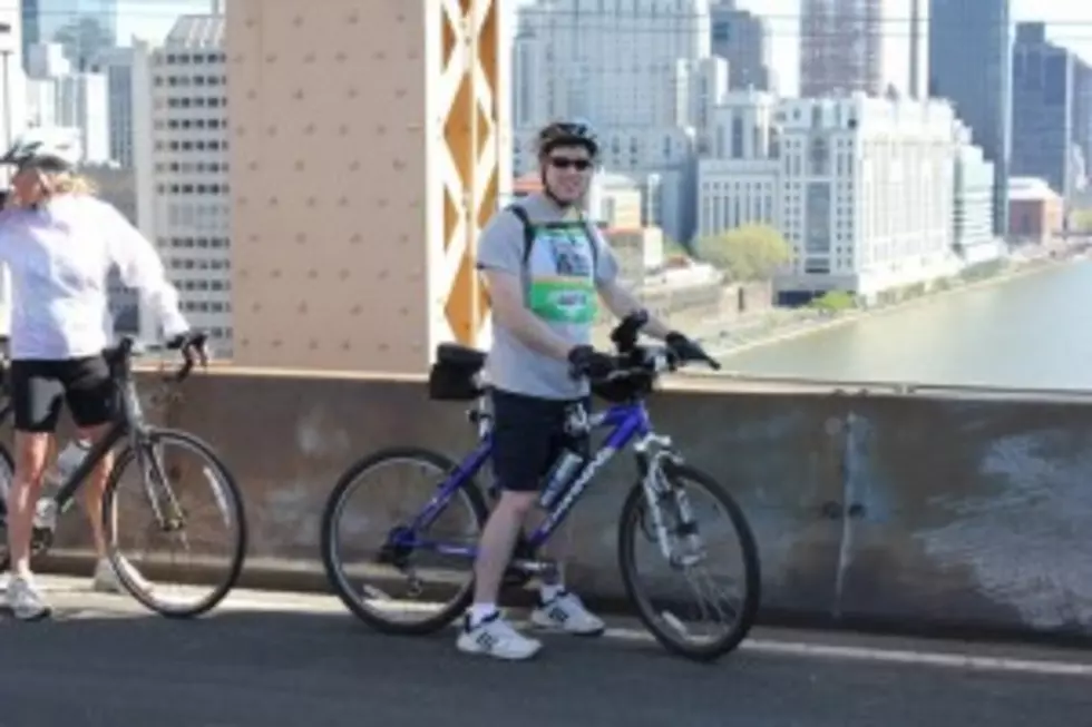
Here are some photos I've taken along the bike trails. If you've got a favorite place to bike, let us know by commenting below.
More From Lite 98.7