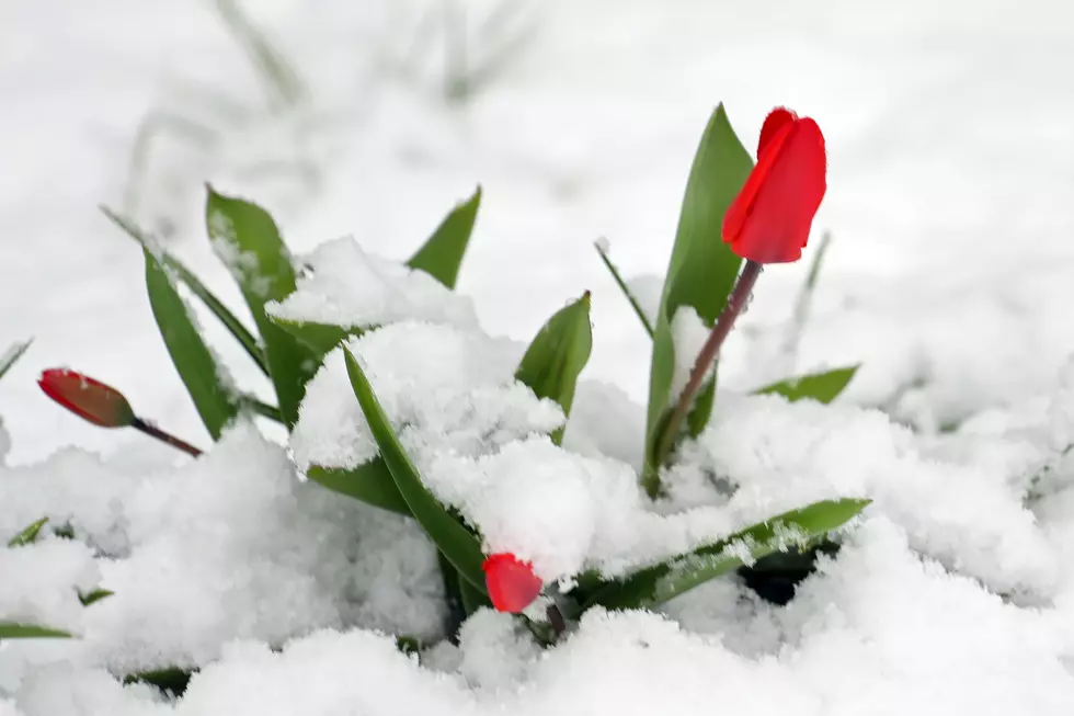
It's starting to feel a lot like Spring in central New York with above normal temperatures. How warm has it been? Warm enough to break records in Utica.
We need to make it through one more cold and blustery weekend before the warming trend begins on Monday, bringing us much warmer weather by midweek. We could see temperatures in the mid- 50's to low 60's.
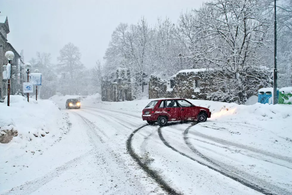
According to the National Weather Service in Binghamton, the snow begins late Monday night, continuing through Tuesday morning. Several inches of snow are expected before snow winds down into the afternoon.
In New York State, it's against the law to leave your pets unprotected in life-threatening weather conditions such as dangerously low wind chills and frigid temperatures.
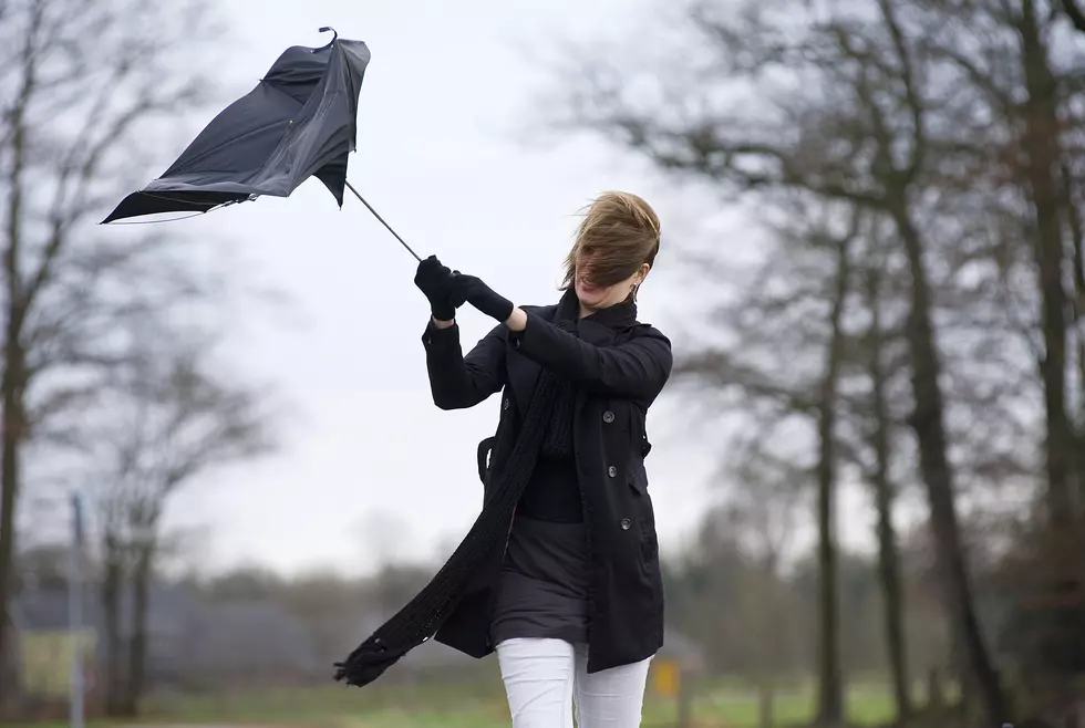
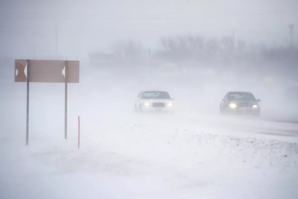
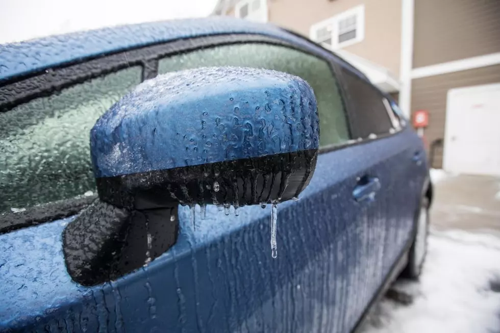
A dangerously cold and blustery Arctic air mass will remain over central New York throughout the weekend, bringing the coldest temperatures and wind chills this season.
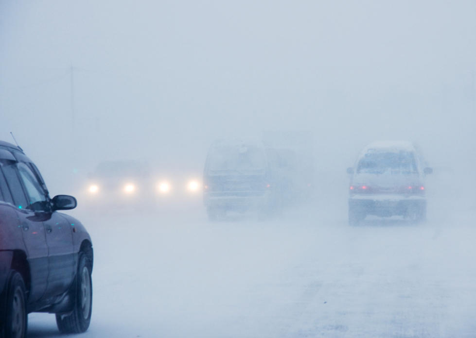
A Winter Weather Advisory is in effect for Northern Oneida County. Lake effect snow is expected to develop tonight and continue through Friday. Generally, 2-4 inches of snow is expected through Friday.
The National Weather Service has issued a Winter Weather Advisory for Oneida, Herkimer and Madison counties starting at 9 pm Monday night continuing through Tuesday until 4 pm on Tuesday.