Central New York Temperatures Could Hit 90 Tuesday and Wednesday
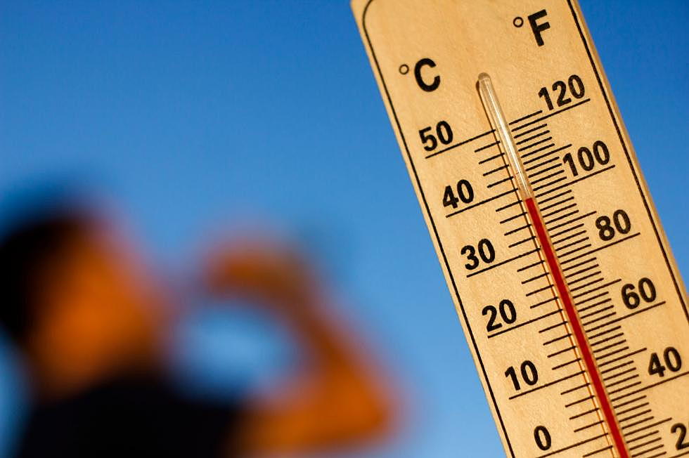
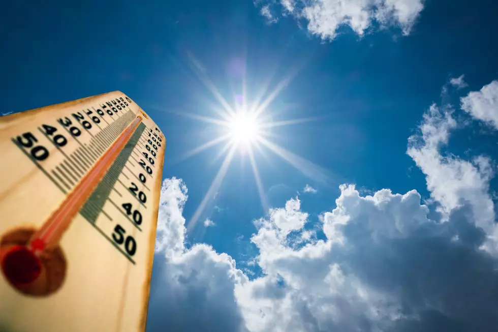
Remember a couple of weeks ago when it was snowing? Well, we're about to get the other extreme with temperatures hitting nearly 90 degrees.
If there's one thing people always say about Central New York, it's "if you don't like the weather, wait a few minutes - it'll change." They're right. Once again, Mother Nature is having a little fun with us. Temperatures are expected to be in the high 80s Monday and Tuesday, and could get as high as 90.

If it seems unseasonably warm for this time of year, you're right. The record high for Utica on May 26 was 88.8 degrees, set in 2016. In Syracuse, the record high on the 26th is 90, set in 2011. Before you start complaining about the heat - the record lows for both Syracuse and Utica was 53 degrees - set in 1930 and 2017, respectively.
The official National Weather Service forecast says we should look for temperatures in the upper 80s. Local forecasters are predicting temps in the 90s today.
KEEP READING: Get answers to 51 of the most frequently asked weather questions...
More From Lite 98.7