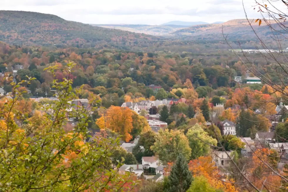
Warm Summer Likely Means Warm and Wet Fall and Winter in CNY
This summer has been unseasonably warm, and now, long-range forecasts say we might be in for more of the same this winter.
The Climate Prediction Center of the National Weather Service says that conditions are right for a mild winter because of a developing El Niño pattern in the Pacific Ocean.
El Niño is a part of a routine climate pattern that occurs when sea surface temperatures in the tropical Pacific Ocean rise to above-normal levels for an extended period of time - this results in storms and warm temps shifting northward.
What does that mean for Central New York's fall and winter weather?
It looks like the Northeast can expect higher-than-normal temperatures and precipitation this fall, according to the forecast models. (You'll probably want to include an umbrella in your back-to-school shopping.)
For the winter, "the temperature and precipitation outlooks are consistent with the elevated probability of El Niño development and its impacts," the center said in its weather forecast.
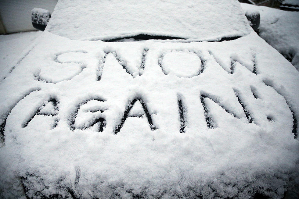
What does that mean for snowfall?
It's hard to say, but Syracuse.com points out some interesting data:
The last major El Niño was in the winter of 2015-2016. That winter, Syracuse was 5.2 degrees warmer, and had 44 fewer inches of snow, than a typical winter. There's no guarantee that will happen again, but the trend in El Niño winters is warmer than usual.
The impacts of an El Niño, though, tend to be more pronounced early in the season than late. In the winter of 1957-1958, Syracuse had below-normal snowfall in December, but was buried by 72 inches in February.
So, does this mean you can wait a while to buy that shovel? Probably not. But you might be able to keep the sweaters put away for a little longer than usual.
What would you rather have more cold and less snow, or more snow and less cold?
More From Lite 98.7