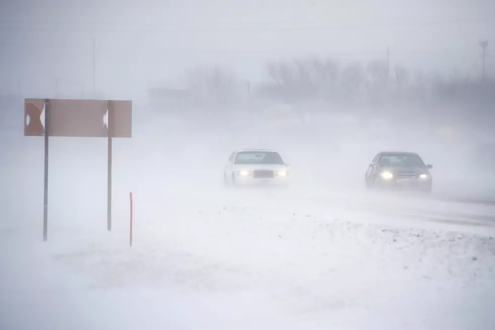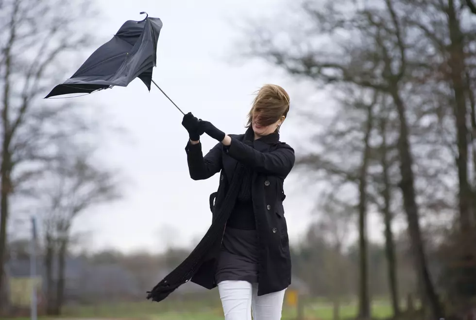
Wind Advisory In CNY – Expect 50 MPH Winds And Snow Showers
Scattered rain showers linger today with blustery winds into the afternoon and evening. Rain gradually changes to snow with some light accumulations overnight. Most of Saturday will be dry before a few rain showers move in during the evening.

...WIND ADVISORY IN EFFECT FROM 10 AM TO 11 PM EDT FRIDAY...
* WHAT...West winds 20 to 30 mph with gusts up to 50 mph expected.
* WHERE...Yates, Seneca, Southern Cayuga, Onondaga, Steuben, Schuyler, Chemung, Tompkins, Madison, Oneida, and Cortland counties.
* WHEN...From 10 AM to 11 PM EDT Friday.
* IMPACTS...Gusty winds could blow around unsecured objects. Tree limbs could be blown down, and a few power outages may result.
PRECAUTIONARY/PREPAREDNESS ACTIONS...
Use extra caution when driving, especially if operating a high-profile vehicle—secure outdoor objects.

Strong winds are expected across the region today as much colder air starts pushing in. Light rain changes to snow tonight, with some accumulation possible, especially across higher elevations in Central NY.
The National Weather Service out of Binghamton says:
Temperatures will then quickly fall back through the afternoon, even reaching into the 30s before sunset across the higher terrain of central NY. This will allow rain showers to change over to a mix of snow, then finally entirely over to snow into the night with overnight lows in the upper 20s to lower 30s. Light snow accumulations below an inch are possible across most of central NY, but higher accumulations to 1 to 2 inches are expected across the higher terrain southeast of Lake Ontario.
Extended Forecast:
Friday: Showers, mainly before 2pm. High near 51. Breezy, with a west wind 18 to 25 mph, with gusts as high as 44 mph. Chance of precipitation is 80%. New precipitation amounts between a tenth and quarter of an inch possible.
Friday Night: Rain and snow showers likely before 2am, then a slight chance of snow showers. Cloudy, with a low around 32. Breezy, with a west wind 16 to 23 mph, with gusts as high as 44 mph. Chance of precipitation is 70%. New snow accumulation of less than a half inch possible.
Saturday: A chance of showers after 5pm. Mostly sunny, with a high near 53. West wind around 14 mph. Chance of precipitation is 30%. New precipitation amounts of less than a tenth of an inch possible.
Saturday Night: Showers likely, mainly after 8pm. Mostly cloudy, with a low around 43. Calm wind becoming southwest around 5 mph after midnight. Chance of precipitation is 60%.
Sunday: A slight chance of showers. Partly sunny, with a high near 63. Chance of precipitation is 20%.
Sunday Night: A chance of showers after 2am. Mostly cloudy, with a low around 45. Chance of precipitation is 30%.
Monday: Showers likely, mainly after 2pm. Mostly cloudy, with a high near 65. Chance of precipitation is 70%.
LOOK: The most expensive weather and climate disasters in recent decades
Gallery Credit: KATELYN LEBOFF
KEEP READING: Get answers to 51 of the most frequently asked weather questions...
More From Lite 98.7