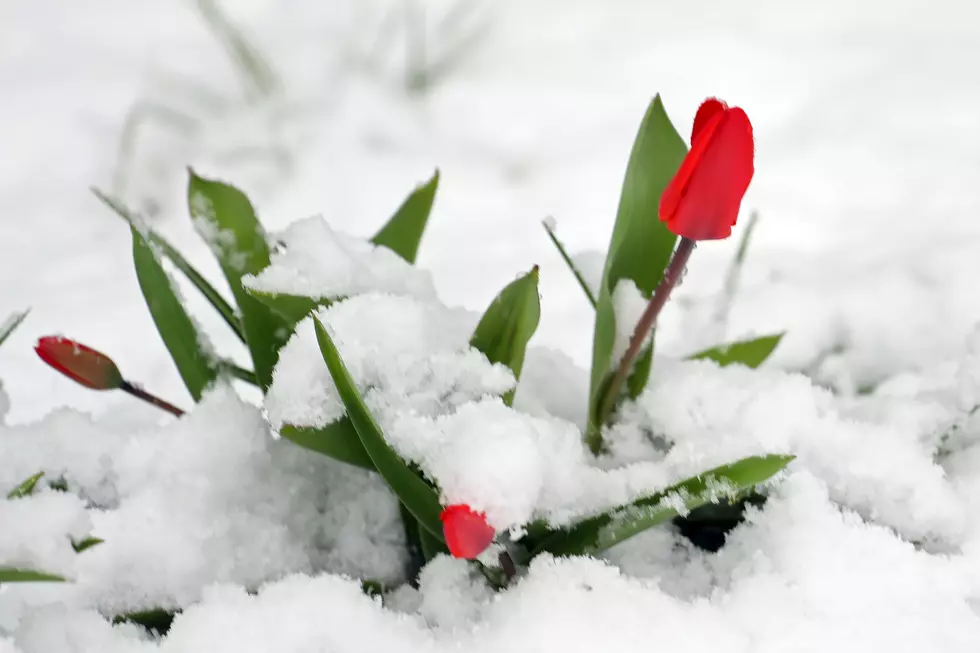
No Foolin, Snow Totals ‘Pulled Back’ in Utica/Rome
Well, Mother Nature, who controls all-weather, animals and plants, has had the last laugh. Did she actually play an April Fools joke on us? Snow totals are now 2-5 inches for Central New York.
A cold front will bring snow to NY and PA early this morning, then push scattered lake effect snow showers into Upstate NY Thursday afternoon. The chilly weather will continue through Saturday morning before seasonable weather returns to our region.

Northern Oneida-Onondaga-Chemung-Tompkins-Madison-Southern Oneida-Cortland-Chenango-Otsego-Tioga-Broome-Delaware-Bradford-Susquehanna-Including the cities of Boonville, Syracuse, Elmira, Ithaca, Hamilton, Oneida, Rome, Utica, Cortland, Norwich, Oneonta, Owego, Waverly, Binghamton, Delhi, Walton, Sayre, Towanda, Hallstead, and Montrose
...WINTER WEATHER ADVISORY REMAINS IN EFFECT UNTIL 5 PM EDT THIS
AFTERNOON...
* WHAT...Snow expected. Total snow accumulations of 2 to 5
inches, mainly over high elevations.
* WHERE...In Pennsylvania, Bradford and Susquehanna counties. In
New York, Steuben, Seneca, Broome, Delaware, Otsego, Northern
Oneida, Cortland, Onondaga, Tompkins, Chenango, Tioga,
Madison, Southern Oneida, Yates, Chemung, Schuyler and
Southern Cayuga counties.
* WHEN...Until 5 PM EDT Thursday. Steadiest, heaviest snowfall
will occur through dawn, then taper off to lake effect snow
showers into Thursday afternoon.
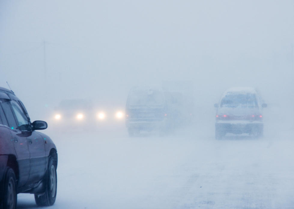
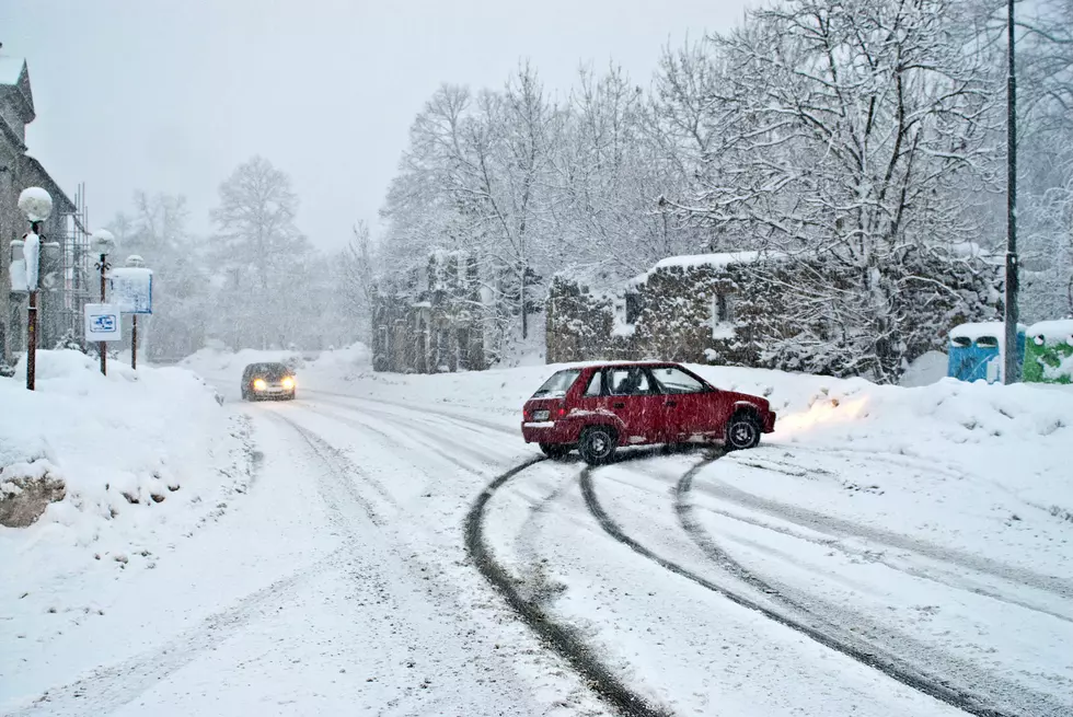
* IMPACTS...Plan on slippery road conditions. The hazardous
conditions could impact the morning commute.
* ADDITIONAL DETAILS...Expect the heaviest snow to be over the
higher elevations. Lesser amounts are expected in the valleys.
PRECAUTIONARY/PREPAREDNESS ACTIONS...Slow down and use caution.
The National Weather Service out of Binghamton says the Latest model guidance continues to come in generally below advisory criteria for most places, with mainly the higher elevations of Central NY able to reach that 3 to perhaps 5-inch range.
it is worth it to keep the advisory going for now instead of pulling it before our next round even begins. While we may come in below criteria by the time this steadier snow wraps up early tomorrow, wet snow accumulations from overnight and additional lake effect snow showers should still be a nuisance. [NWS]
This small Nor'easter is weaker and has moved further east with the heavier precipitation and track of the surface low across western New England...with the best frontogenesis from Northern PA in Bradford County and extend NE into Southern Oneida County. Wherever this zone actually ends up setting up, heavy snowfall rates of 1 to 1.5 inches per hour may develop under this band through Thursday's early morning hours.
Extended NWS Forecast:
Thursday: Rain and snow, becoming all snow after 3pm. High near 35. Northwest wind 10 to 16 mph. Chance of precipitation is 90%—new snow accumulation of around 2 inches.
Thursday Night: A chance of snow showers. Mostly cloudy, with a low around 21. Northwest wind 10 to 14 mph. Chance of precipitation is 50%. New snow accumulation of less than one inch possible.
Friday: A chance of snow showers, mainly before 3pm. Mostly cloudy, with a high near 31. Northwest wind 9 to 15 mph. Chance of precipitation is 50%—new snow accumulation of less than a half-inch possible.
Friday Night: A slight chance of snow showers before 3am. Partly cloudy, with a low around 17. West wind 5 to 9 mph. Chance of precipitation is 20%.
Saturday: Sunny, with a high near 46.
Saturday Night: A chance of rain and snow showers before 3am, then a chance of rain showers between 3am and 4am, then a chance of rain and snow showers after 4am. Mostly cloudy, with a low around 33. Chance of precipitation is 40%.
Sunday: A chance of showers before 9am. Mostly cloudy, with a high near 49. Chance of precipitation is 40%.
KEEP READING: Get answers to 51 of the most frequently asked weather questions...
More From Lite 98.7