‘Winter Hurricane’ Headed Toward New York?
Put aside arctic blasts and Alberta Clippers and polar vortexes for now. Clear a path for "cyclogenesis" and "bombogenesis," the latest real weather terms that could have an adverse and dangerous affect on us.
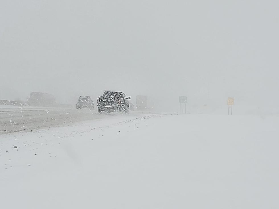
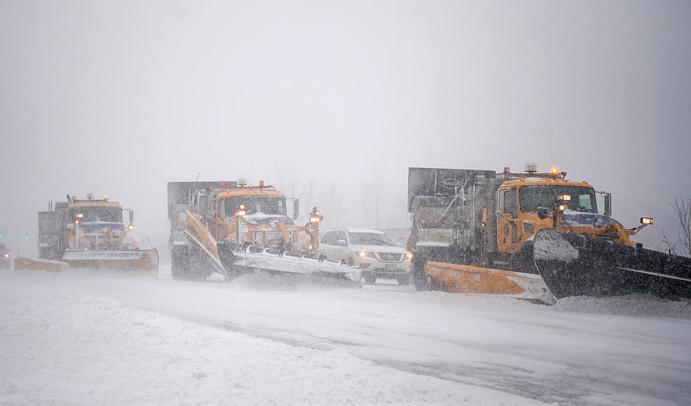
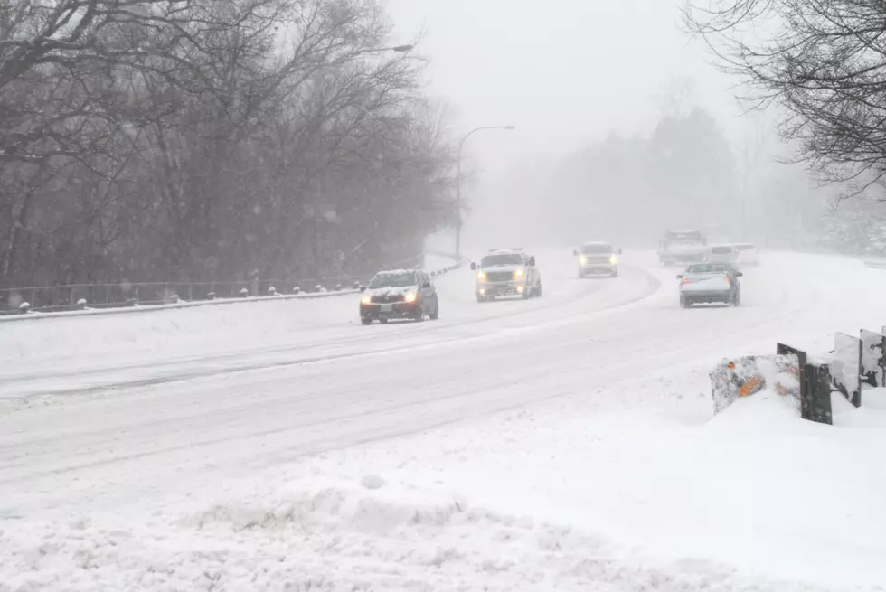
According to many predictive models, the first full weekend of January 2018 could bring some pretty nasty weather conditions to Central New York.
The image above captured by satellite a couple of years ago depicted a large blizzard forming off the Atlantic Coast that dumped as many as 36 inches of snow in Massachusetts over a two-day period. The map may look similar this weekend.
Those two scary-sounding weather terms above are actually rather common meteorological buzzwords for rotating low-pressure systems that gather moisture, low temperatures and high winds. The newest sensational phrase making the rounds on social media in the form of a hashtag is #BombCyclone.
The system could bring sub-zero temps, heavy snow, and potentially hurricane-force winds. The National Weather Service has issued an official Wind Chill Watch for our region from Thursday overnight through Saturday. Wind-chill readings could reach -40. The detailed warning from the NWS is here.
For the record, our Lite 98.7 forecaster, WUTR Chief Meterologist Rachael Witter believes the wind-chill predictions will be a reality for Central New York, but thinks the major snowfall totals will occur well to the east of the Mohawk Valley.
BONUS VIDEO:
More From Lite 98.7


