
First CNY Snowfall of 2020 Expected Friday Morning
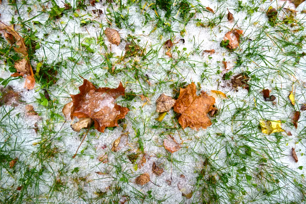
Say it isn't so....or snow in this case. It's starting to get colder here in Central New York, and that means the arrival of snow will be here before we know it. As soon as Friday, October unfortunately.
The National Weather Service out of Binghamton is reporting some flurries on Friday morning, but nothing more than four inches in some areas.
The extended forecast shows to expect rain Thursday evening, but as temperatures get into the below freezing temps (high 20s, low 30s) those showers will turn into snow.

"Signals are increasingly showing a deformation band of snow forming as the upper level energy departs Friday morning. 600-800 mb FGEN forcing does show the potential for a few hours of moderate to perhaps heavy snow with timing ranging from 4 to 10 am of this snowfall. This is currently modeled to track from the Southern Tier eastward into NE PA and the Catskills. This is when a majority of the snow should accumulate. Both omega and the -10/20C snow growth regions look favorable for the burst of snow as well. With the higher rates ratios should bump higher as the higher rates overcome a very warm ground. Snow should end by late morning with more in the way of drizzle/ freezing drizzle or snow showers leftover through the remainder of the day."

As of right now, there is a chance we could see snow showers again on Monday, November 2nd.
You can see the extended forecast for Utica/Rome here.
TIPS: Here's how you can prepare for power outages
More From Lite 98.7


