Less Snow But Freezing Cold Still Expected Tuesday Through Friday
Snowfall predictions have decreased, but freezing cold temperatures are still on the way for Central New York.
The Winter Storm Watch has been upgraded to a Winter Storm Warning for most of Central New York, but the National Weather Service forecasters are calling for less snow than originally forecast in their early Tuesday discussion:
"Storm totals have come down along our eastern border where
amounts are expected to straddle the line between advisory and
warning criteria. A general 2 to 4 inches of snow is forecast
along the I-81 corridor, though amounts will be slightly higher
toward SYR where the lake and northern energy will aid snow
production.
An Artic airmass will slam NY and PA early Wednesday. Morning
lows will be near zero in spots, and highs will only reach the
single digits over portions of the Finger Lakes and Central
Southern Tier."
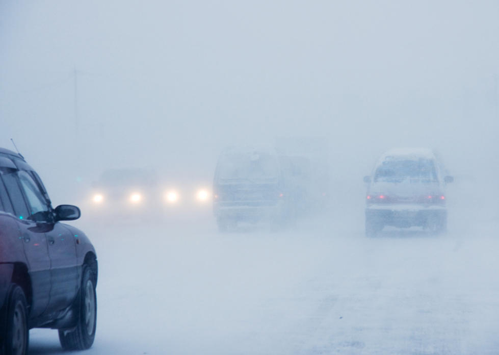
So what does that mean? It looks like we'll see significantly less snow today than originally forecasted - probably closer to 4" - 8" than the original 12" - unless you live in the North Country or Tug Hill.
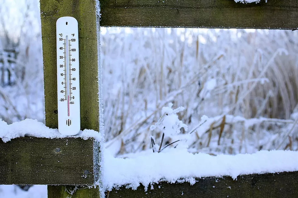
What hasn't changed is the bitterly cold temperatures that are expected to move into the area tonight and stick around until Thursday. Overnight lows combined with the wind chill could get down to -30.

...WINTER STORM WARNING REMAINS IN EFFECT UNTIL 1 AM EST
WEDNESDAY...
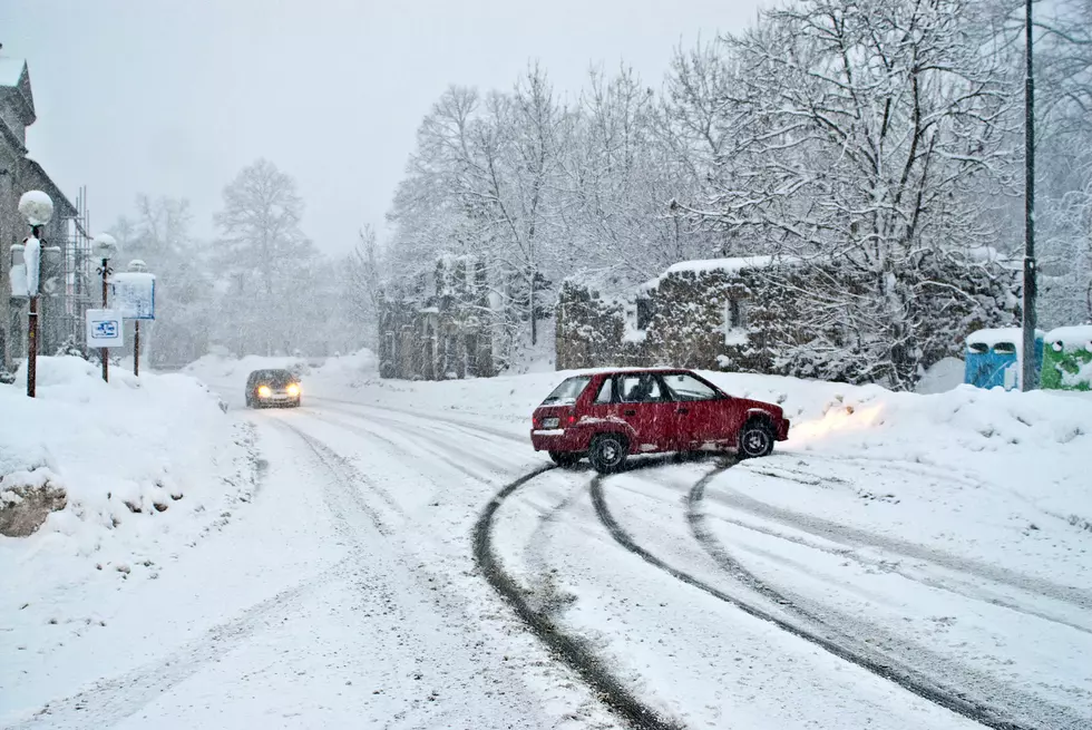
* WHAT...Heavy snow expected. Total snow accumulations of 6 to 9 inches
expected. Snowfall rates up to 1 inch per hour are expected
Tuesday afternoon into Tuesday evening. Winds gusting as high as
30 mph.
* WHERE...Otsego, Delaware, Sullivan, and Southern Oneida
counties.
* WHEN...From 1 AM Tuesday to 1 AM EST Wednesday.
* ADDITIONAL DETAILS...Travel could be very difficult. The
hazardous conditions could impact the morning or evening
commute. Very cold to even dangerously cold wind chills are
expected to begin late Tuesday night and continue through at
least Thursday night.
...WINTER STORM WARNING REMAINS IN EFFECT UNTIL 1 AM EST
WEDNESDAY...
* WHAT...Heavy snow expected. Total snow accumulations of 9 to
14 inches expected. Snowfall rates of up to 1 inch per hour
are expected Tuesday into Tuesday evening. Winds gusting as
high as 30 mph.
* WHERE...Northern Oneida county.
* WHEN...From 1 AM Tuesday to 1 AM EST Wednesday.
* ADDITIONAL DETAILS...Travel could be very difficult. The
hazardous conditions could impact the morning or evening
commute. Very cold to even dangerously cold wind chills are
expected to begin late Tuesday night and continue through at
least Thursday night.
More From Lite 98.7