NWS Says Severe Storms, Hail, and Localized Flooding Headed to CNY
The National Weather Service says severe storms and an extended period of rain could bring localized flooding to Central New York, along with hail and gusty winds.
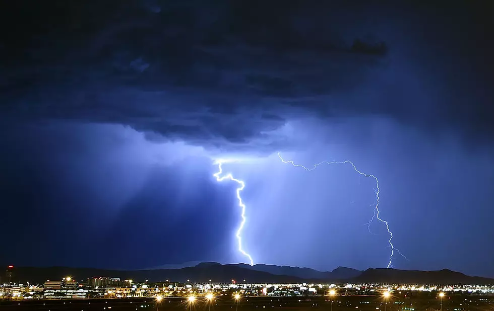
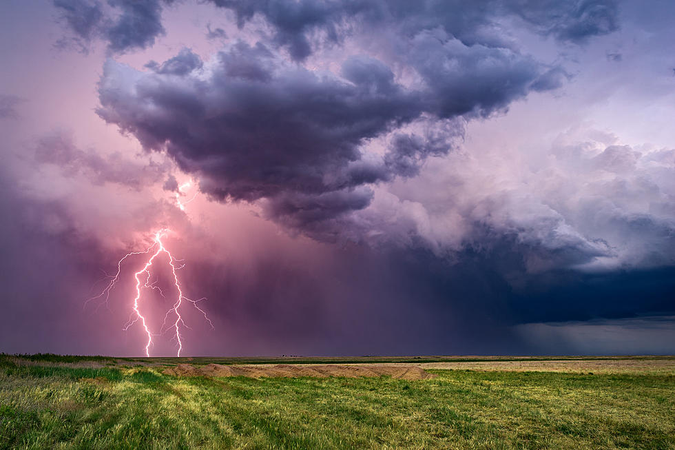
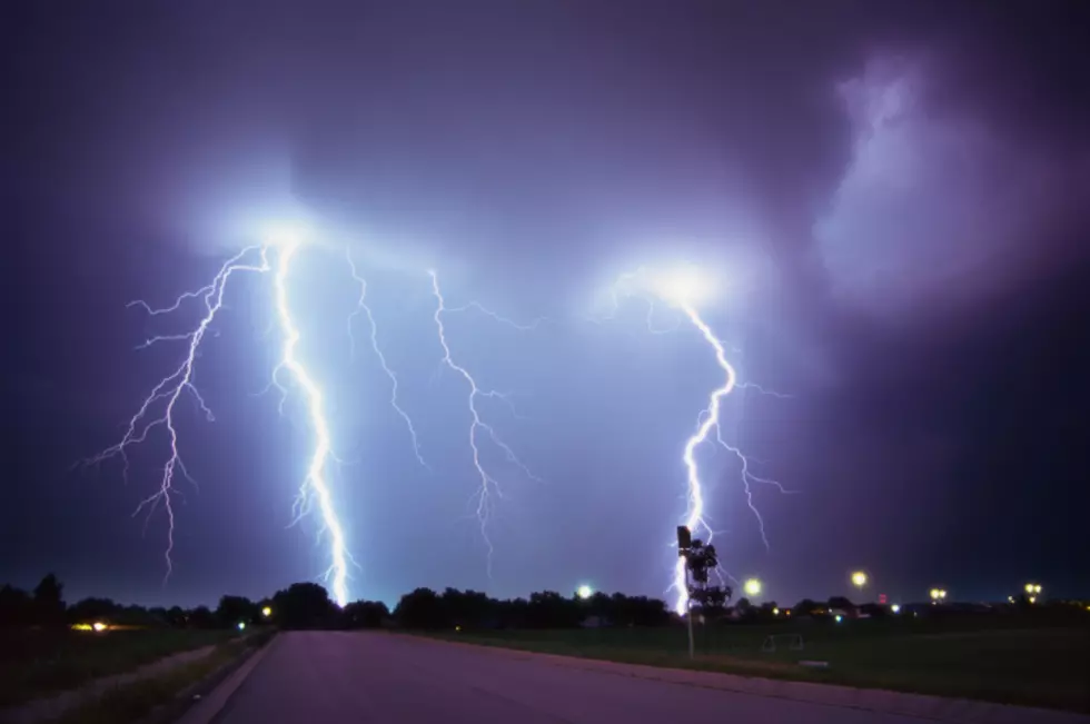
Central New York can expect showers and thunderstorms Wednesday, August 1, with the National Weather Service warning that these storms could be severe - especially overnight Wednesday - bringing heavy rain, hail, and high winds.
Additionally, the forecast for the rest of the week calls for rain through Saturday morning - which increases the possibility of localized flooding.
The NWS has issued a Hazardous Weather Outlook for Oneida, Seneca, Southern Cayuga, Onondaga, Steuben, Tompkins, Madison, Cortland, Chenango, Otsego, and several other counties, including the cities of Rome, Utica, and Syracuse:
.DAY ONE...Today and Tonight.

Scattered strong to severe thunderstorms will move through the area
this afternoon and evening. Storms may contain gusty winds and hail
during this time period. Locally heavy rainfall with thunderstorms
may lead to isolated flooding of small streams, creeks and poor
drainage areas.

.DAYS TWO THROUGH SEVEN...Thursday through Tuesday.

Multiple rounds of showers and thunderstorms are expected Thursday
afternoon through Friday night. Locally heavy rainfall and isolated
flooding of smaller streams, creeks and poor drainage areas will be
possible Thursday afternoon through Friday night. Areas that have
already had heavy rainfall in the past week, will be more vulnerable.
For up to date weather forecasts, be sure to download the Lite 98.7 app.
More From Lite 98.7