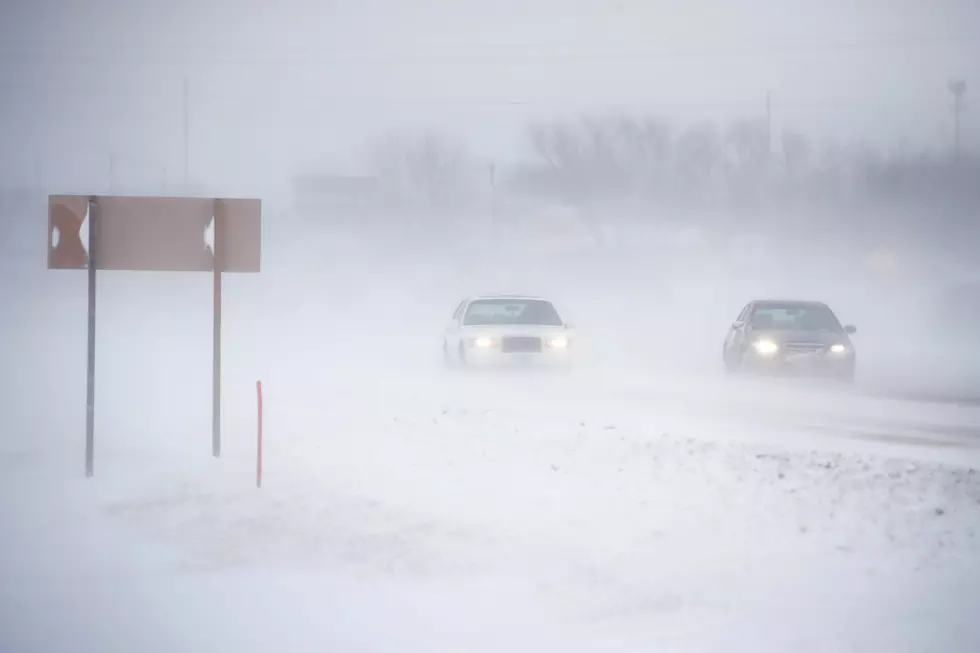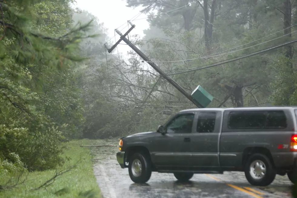
Potential For Damaging Winds, Large Hail, and Heavy Rainfall In CNY
A cold front will move east and cross the region, bringing showers and thunderstorms this afternoon and tonight. NWS says we could see damaging winds, large hail, and heavy rain in CNY.
A few clusters of showers and thunder will be around the region this morning; however new development of scattered thunderstorms this afternoon could be on the strong to severe side. Damaging wind gusts and isolated flash flooding will be possible. Stay weather aware later today; have a plan in case storms threaten, especially if you are outdoors. [NWS]

Showers and thunderstorms will move through the area today (7/11) during the afternoon and evening hours. There is a potential for damaging winds, large hail, and locally heavy rainfall. There is also a chance for localized flash flooding where heavy rain persists the longest.
Extended Forcast:
Today: Showers and thunderstorms likely, mainly after 4pm. Some of the storms could produce gusty winds and heavy rain. Cloudy, with a high near 85. South wind 7 to 9 mph. Chance of precipitation is 60%. New rainfall amounts between a quarter and half of an inch possible.
Tonight: Showers and thunderstorms likely, mainly before 8pm. Cloudy, with a low around 66. South wind 5 to 10 mph. Chance of precipitation is 60% — new rainfall amounts between a tenth and quarter of an inch, except higher amounts possible in thunderstorms.
Friday: A slight chance of showers. Mostly cloudy, with a high near 77. West wind 8 to 10 mph. Chance of precipitation is 20%.
Friday Night: Partly cloudy, with a low around 61. West wind 3 to 8 mph.
Saturday: Mostly sunny, with a high near 85. West wind 3 to 7 mph.
Saturday Night: A chance of showers and thunderstorms between 8pm and midnight, then a slight chance of showers. Partly cloudy, with a low around 61. Chance of precipitation is 30%.
Sunday: Mostly sunny, with a high near 79.
Sunday Night: Partly cloudy, with a low around 57.
Monday: Sunny, with a high near 83.
[DOWNLOAD THE FREE EAGLE APP HERE
Get up to information on power outages throughout Central New York; where it’s out and when it’ll be restored with National Grid’s Power Outage Map.
National Grid also offers text alerts on the latest efforts to restore power.
To receive free text message alerts and updates, text the word STORM to NGRID (64743). E-mail alerts are available to customers who create an online profile on the company’s website. All alert services can be started and stopped at the customer’s request.
You can even report power outages or get the latest information at the National Grid’s website.
Power Outage Preparation:
*Keep your cell phone charged and make sure you know where your backup power supply is.
*Make sure all your flashlights have fresh batteries.
*Fill your gas tank. You can use your car to keep warm and recharge devices.
*Have some food available that you don’t need to cook.
* Download The Eagle App. You’ll receive local alerts, weather reports and more with push notification.
More From Lite 98.7