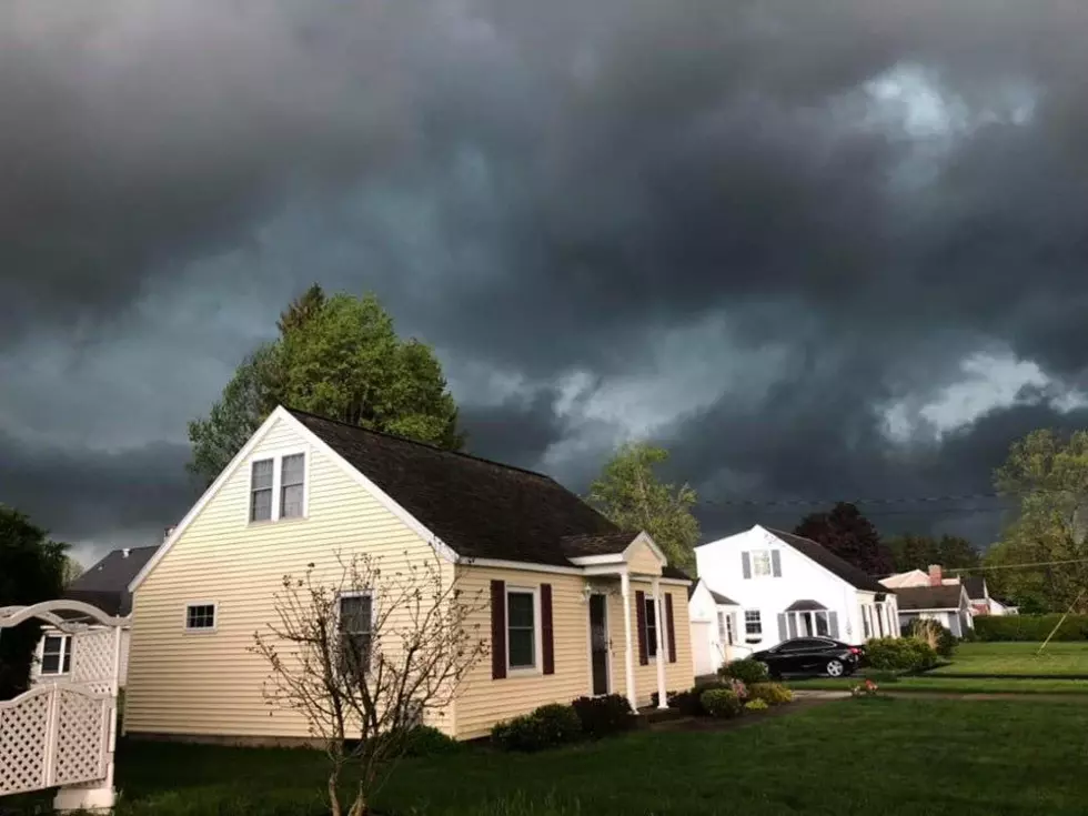
Should Central NY Expect More Severe Storms Today?
Rain, rain (and storms,) go away!. Yesterday we saw a pretty intense segment of storms here in Central New York. And that may just be continuing later today.
According to the National Weather Service, "a cold front moving through NY and PA will bring a few showers or thunderstorms to the region today. Cooler, drier air will return for Monday night and Tuesday."
What does that mean for us here in CNY?
Well, let's break it down further. The eastern third of New York state is in the “marginal” category for severe storms, which means there’s a 5% chance of a severe storm hitting within 25 miles of any given spot, according to the national Storm Prediction Center. A severe storm has winds of 58 mph and/or 1-inch hail.
The highest chances of where the severity will hit today are in the Capital Region and Hudson Valley. We will more than likely see some thunder and light rain through out the morning into the afternoon, but the "severe" thunderstorms will more than likely only impact the Capital Region and Hudson Valley this afternoon.
The National Weather Service did mention what we CAN expect though:
With a dry, cool airmass pouring down from Canada, temperatures will fall into the 40s across NY and PA tonight. Fair and dry weather are forecast for Tuesday as well.
Temperatures will climb into the lower or middle-60s.
We'll keep you updated as always on air and through the Lite 98.7 mobile app.
More From Lite 98.7