Weekend Forecast: Frost and Fire Possible
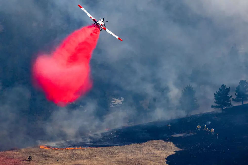
There is a chance of frost overnight but authorities say that there remains a risk of wildfires through the weekend.
Wildfire Spread Advisory
The National Weather Service says a Wildfire Spread Advisory for Central New York remains in effect.
On April 30, 2022 the NWS says that humidity levels are expected to significantly "drop between 15 to 25 percent." Coupled with northwest winds of 10 to 20mph that may gust up to 30mph, the low humidity levels create conditions that are conducive to wildfires.
The NWS says, "These very dry and windy conditions will pose an elevated risk for wildfire spread today across all of Central NY."
Affected areas include the following counties:
- Broome
- Cayuga
- Chemung
- Chenango
- Cortland
- Delaware
- Madison
- Oneida
- Onondaga
- Otsego
- Schuyler
- Seneca
- Steuben
- Sullivan
- Tioga
- Tompkins
- Yates
The NWS reminds residents that the annual statewide burn ban remains in effect until May 14, 2022. No burn permits are issued at this time.

Forecast
[AUTHOR'S NOTE: This post is for informational purposes and is based largely on information received from the National Weather Service.]
LOOK: The most expensive weather and climate disasters in recent decades
Gallery Credit: KATELYN LEBOFF
KEEP READING: Get answers to 51 of the most frequently asked weather questions...
More From Lite 98.7